
Location File TUQ-1014
The Unknown Quest
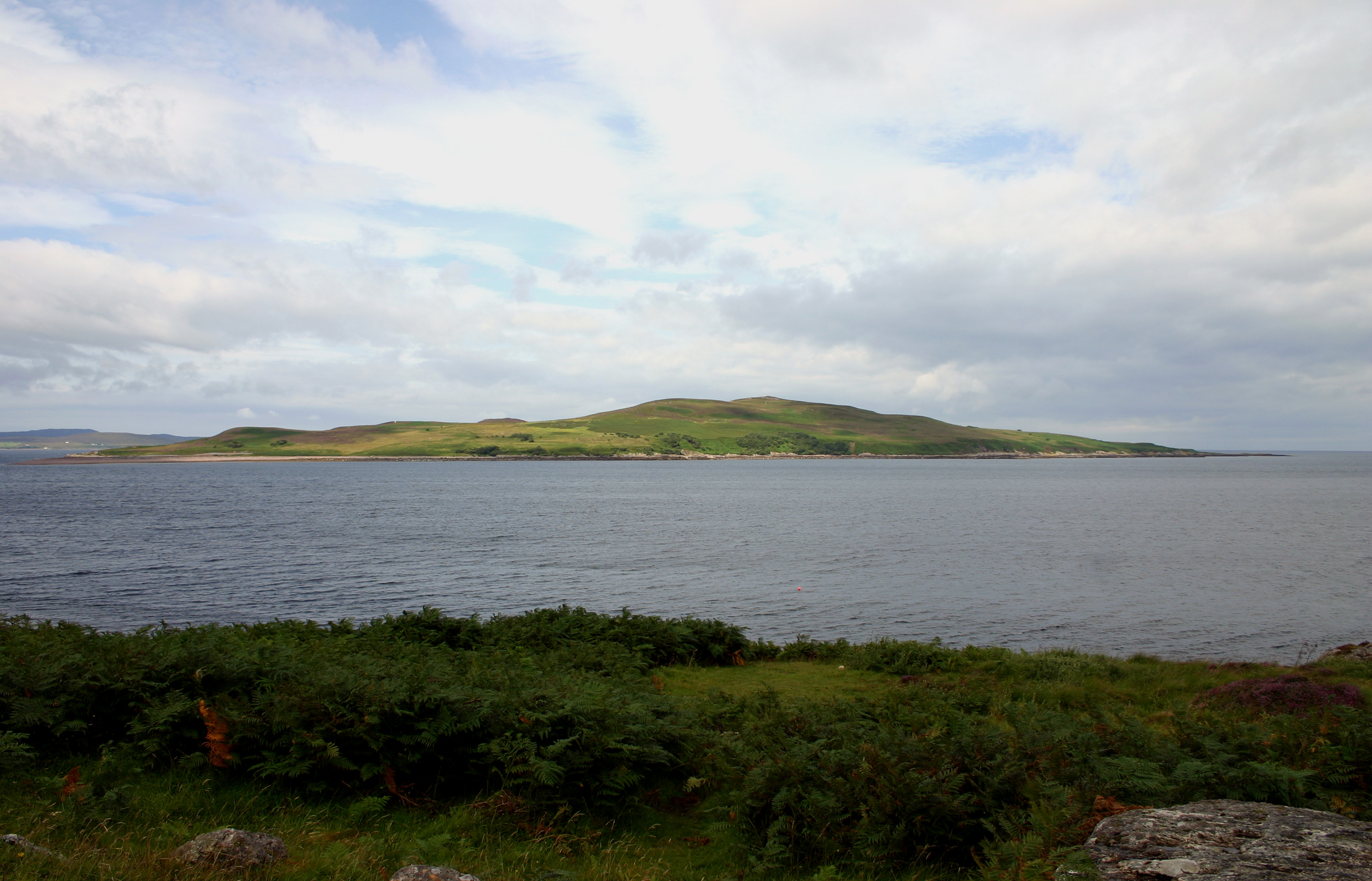
Anthrax Island
File type: other
Spookiness: 5/5
Image credit: By Kevin Walsh from Oxford, England – https://www.flickr.com/photos/86624586@N00/36190793/, CC BY 2.0, https://commons.wikimedia.org/w/index.php?curid=2623790
File 01
Case Overview
What happened at Anthrax Island?
In 1942, during the height of the Second World War, the British government requisitioned the island as part of its secret biological warfare programme. Scientists working with the Porton Down defence establishment used Gruinard’s isolation to test the effects of anthrax as a potential weapon. Sheep were tethered across the island’s windswept terrain before explosive devices containing Bacillus anthracis spores were detonated nearby. The results were chillingly effective. The animals died within days, and the spores proved so resilient that the island’s soil remained dangerously contaminated long after the experiment had ended.
For decades, Gruinard was sealed off from the public. Warning signs made clear that landing there could be fatal, and the island became a forbidden landmark on the Highland coast. Around it grew a darker mythology: rumours of poisoned ground, dead wildlife, strange mists over the heather, and a place so contaminated that even time seemed reluctant to touch it.
The story took a dramatic turn in 1981, when a group calling itself the Dark Harvest Commando landed on the island, removed contaminated soil, and left samples near Porton Down in an attempt to force the government into action. The incident pushed Gruinard back into the public eye and intensified pressure for a full clean-up. In the late 1980s, the Ministry of Defence carried out a major decontamination operation, treating the island with a mixture of formaldehyde and seawater. After testing, Gruinard was officially declared safe in 1990. Yet Gruinard’s unsettling reputation did not end with its decontamination. In the digital age, the island acquired another strange footnote when it was brought to public attention that Gruinard had, for a time, been hidden on Google Maps. This was not just any remote island. It was Britain’s former anthrax test site, a place already associated with secrecy, military experimentation, and decades of enforced quarantine. Whether the mapping issue was the result of national-security caution, outdated imagery, data handling, or a decision never fully explained to the public, adding a distinctly modern layer to Gruinard’s legend.
From the Archive
File 03
Research & Visit
Follow the case beyond this page.
Read the Article
Open the supporting reference and continue researching the location.
Tours & Tickets
Check whether the location can be visited responsibly and legally.
Book Your Stay
Find accommodation close to the next stage of your investigation.
Read Visitor Reviews
See what recent visitors report before deciding whether to travel.
Listen to the Podcast
Hear a longer account or discussion connected with this case.
Leave a Reply